Peat Landslide Hazard and Risk Assessments
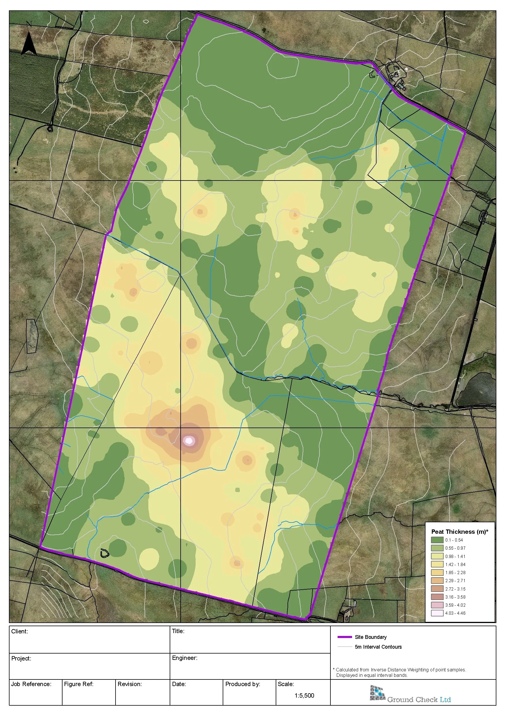
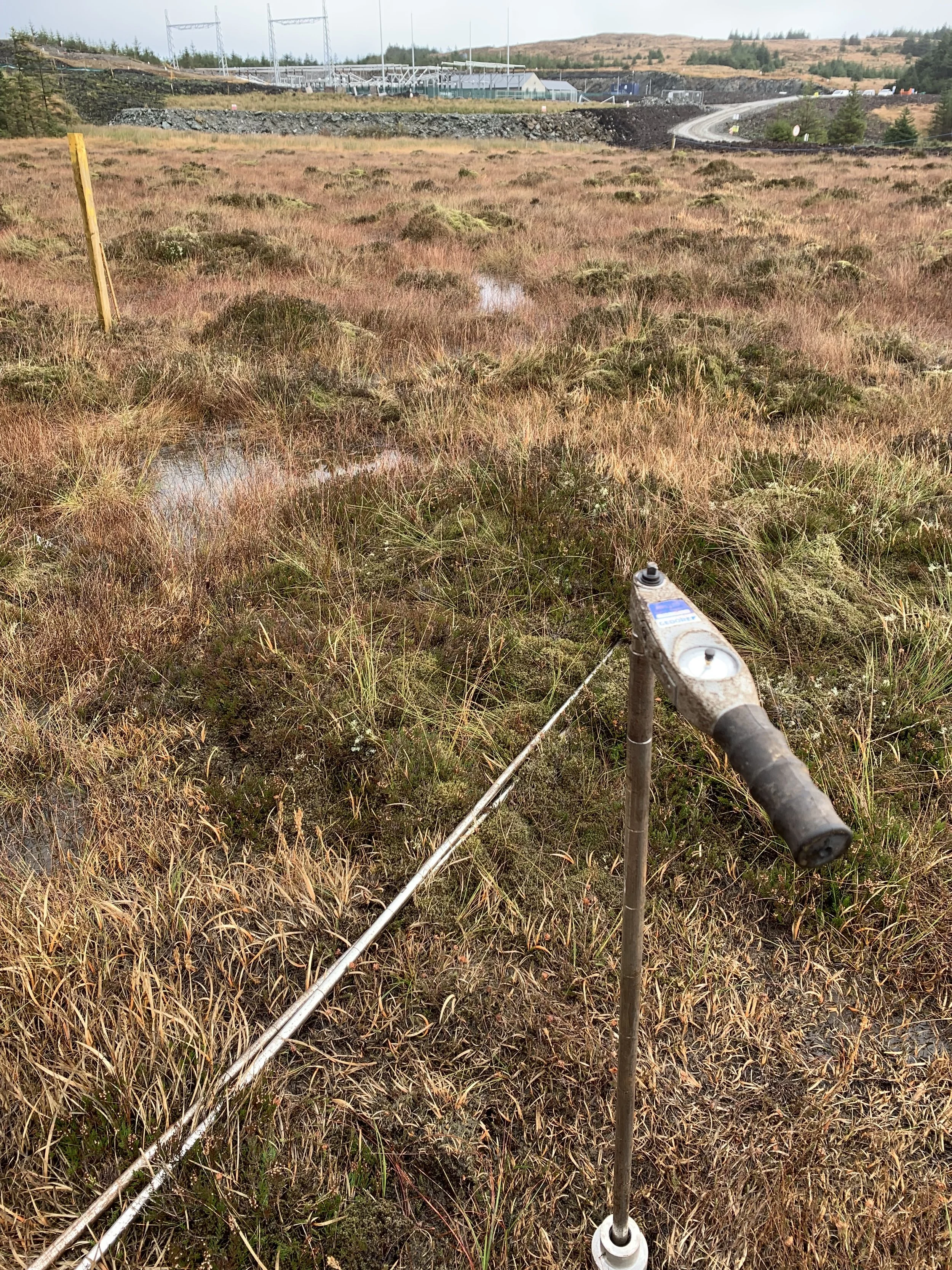
To examine potential risks to wind farm developments on upland blanket bogs, Ground Check can undertake a peat stability risk assessment. This involves a peat probing survey along the line of the access roads and at each turbine location, where soundings of the measured peat thickness and degree of humification (Von Post classification) would be recorded on a mobile mapping device to sub-metre accuracy.
The GIS data would be related to digital terrain maps of the drainage and slope characteristics of the landscape. This information would be input into a risk ranking matrix, which would be used to develop a zoned risk map to identify potential peat slide hazards at an early stage in the project.